


A thousand years of Amsterdam and its struggle with water.
Commissioned by the NAP museumToday in Eindhoven
Other daysWhat you will experience
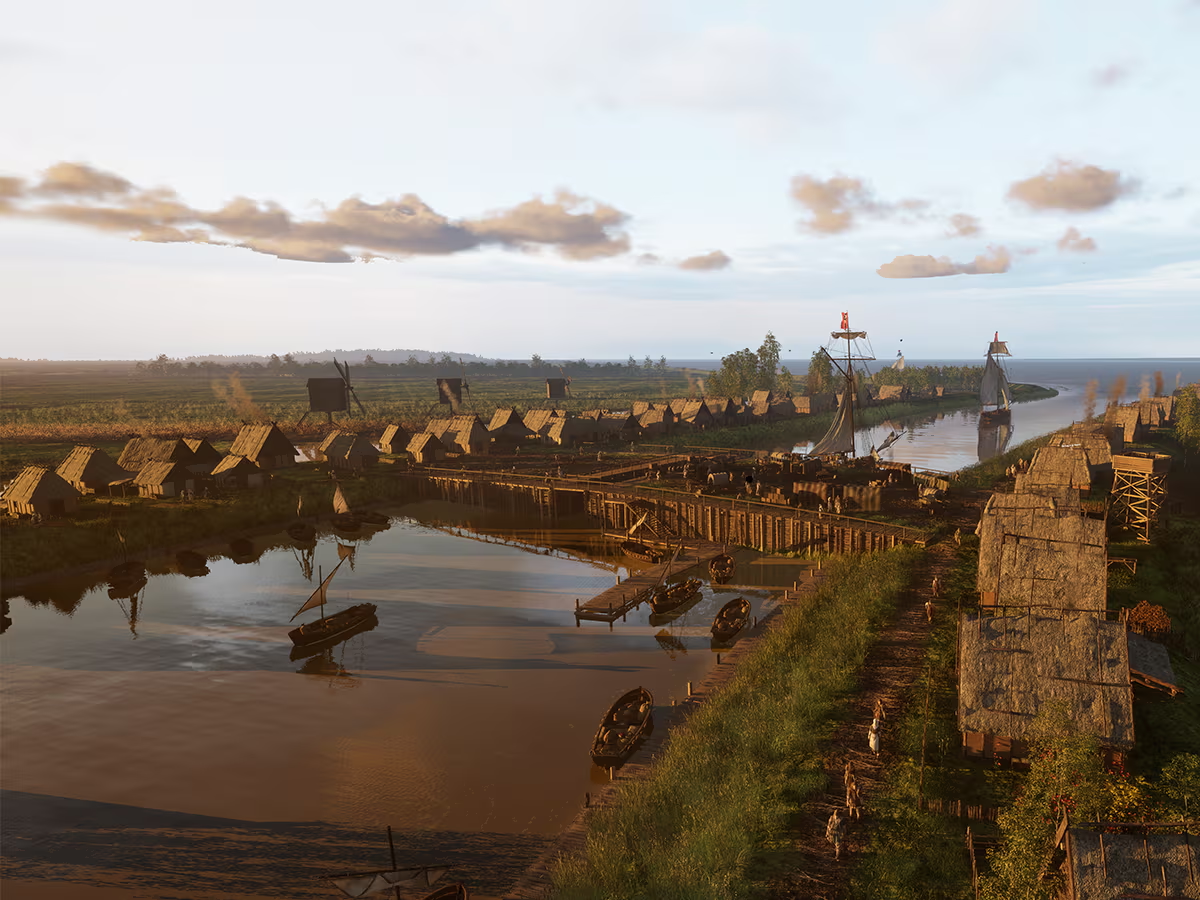
From peat and ditches to a dam in the Amstel.
You start in the year 1003, as a farmer on the peat along the Amstel. There is no dike and nobody measures the water: the land still lies higher than the sea. Generation after generation digs ditches, the land sinks and the sea comes closer. By 1275 a clay dam runs straight across the river, and the name of this place appears on parchment for the first time: Amestelledamme.


One line, the same everywhere.
It is 1665. You sail into the busiest harbour in the world on a warship escorting the East India fleet, at spring tide with the wind behind you. Behind the sluices, the city keeps its water at one fixed height. Mayor Johannes Hudde later has stones with a line cut into them set in the sluices: the Amsterdam Level. Today it is the Normaal Amsterdams Peil, NAP, the zero point for every height in the Netherlands. You stand by that stone on the canal and see how high the water could have reached here in 1953.
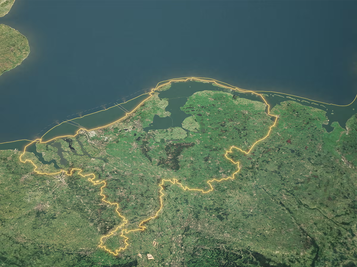
What if the sea rises six metres?
Then you rise up and see the whole of the Netherlands at a glance. You watch the sea flood in as if there were no dikes, and you see one of the plans built to withstand it: a second coastline further out at sea, built step by step until 2100. And when you take off the headset, the real zero point is close by: the NAP in the passage of Amstel 1.
Watch the trailer